Thinking about a move to Watsontown but not sure where to focus your search? You are not alone. This compact river borough packs a lot of variety into less than a square mile of land, which can make the choices feel unclear at first. In this guide, you will get a clear picture of Watsontown’s practical neighborhood pockets, typical home styles, lot sizes, and buyer tips so you can choose the area that fits your goals. Let’s dive in.
Quick snapshot of Watsontown
Watsontown is a small borough in Northumberland County with about 2,237 residents and roughly 0.93 square miles of total area, about 24% of which is water along the West Branch Susquehanna River. The community sits on the west bank of the river with access from Pennsylvania Routes 44 and 405. You can confirm these basics on the borough’s overview page on Watsontown’s Wikipedia entry.
Home prices here can vary from month to month because the market is small and annual transaction counts are modest. Different data sources often show different medians. For the most accurate view of value, rely on current MLS data and a local market analysis for the specific property type you want.
How Watsontown neighborhoods work
You will not find many formal subdivisions inside the borough limits. Instead, it helps to think about Watsontown in simple “pockets” defined by streets and features: Downtown/Main Street, the Riverfront/Towpath area, the numbered‑street single‑family grid, mid‑century edges near the borough boundary, and outlying rural parcels just beyond the borough line. Each pocket comes with its own housing age, lots, and daily feel.
Downtown and Main Street
Downtown follows the Main Street corridor where local shops and services cluster. This is the historic commercial spine and the most walkable part of town for everyday errands and dining. You will see mixed‑use storefronts, attached or adjacent houses, and side streets that tie back into the residential grid. For a general sense of the setting, review the borough context on Watsontown’s Wikipedia page.
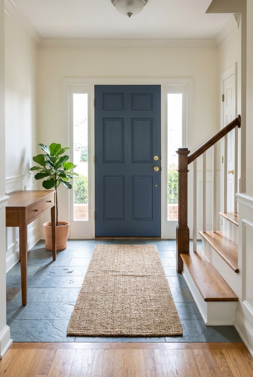
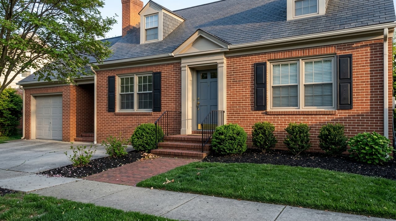
Homes in this pocket tend to date from the late 1800s through the early 1900s. Architectural details like Queen Anne or Victorian elements, full front porches, and wood or brick facades are common. Lots are usually modest in width. Expect taller, vertical floor plans and period details, along with the potential for ongoing maintenance and renovation.
Riverfront and Towpath pocket
The riverfront is one of Watsontown’s defining features. The Canal Boat Park and the roughly 1‑mile Towpath Trail run along the West Branch Susquehanna, and paddlers use the local access as a regular put‑in or take‑out. You can get a feel for the trail and access points by visiting the Watsontown Towpath Trail overview. The historic open‑spandrel arch bridge is part of the experience and is listed on the National Register of Historic Places, which you can see noted on the Watsontown River Bridge entry.
Many river‑adjacent houses are older and sit on narrower lots than you would find in suburban settings. The scenery is a draw, but closeness to the water makes flood‑zone due diligence important. Before you write an offer, check the parcel’s FEMA status using the FEMA Map Service Center search, ask about flood insurance requirements, and review any past elevation certificates or known flood mitigation updates.
Numbered‑street residential grid
Just behind Main Street, the borough’s classic single‑family blocks form a compact grid. This is the densest residential fabric in town and includes many owner‑occupied properties. Homes range from early‑1900s brick or frame houses to mid‑century infill, often with practical updates over time.
Typical lots in this grid run about 0.09 to 0.25 acres, which translates to roughly 3,900 to 11,000 square feet. You will find front sidewalks, small yards, and manageable driveways. Styles vary from two‑story traditional forms to ranches from the 1970s, giving you choices at different price points and maintenance levels.
Mid‑century edges near the borough line
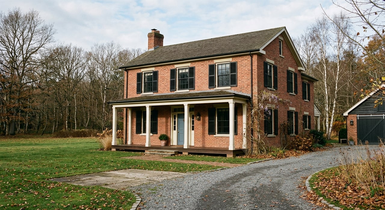
Toward the edges of Watsontown, you will see more post‑World War II construction. Ranches and split‑level homes become common, and lots typically open up to the 0.2 to 0.8‑acre range, sometimes larger. Detached garages, deeper backyards, and small outbuildings show up more frequently in these pockets.
If you value single‑level living, a ranch on the edge of town can be a great fit. These homes often offer wider driveways and more off‑street parking than in‑town blocks. Many buyers also appreciate the extra room for gardens, swingsets, or a shed.
Outlying rural parcels just beyond the borough
Step outside the borough limits and parcel sizes tend to increase quickly. You will find single‑family houses on multiple acres, plus small and hobby farms. If space and privacy are top priorities, this ring just outside Watsontown is where many buyers look.
Rural properties come with a different checklist. Plan to verify zoning, on‑lot septic and well status, and any agricultural or conservation restrictions. For exact lot lines, assessed values, and footprint details, the county parcel viewer is your best resource. You can start with the county dataset overview at the Northumberland County parcel data page and review final records with your agent.
Home styles you will see
- Late‑19th century Victorian and Queen Anne houses near Main Street and older avenues. Look for ornate trim, turret or bay accents, and deep porches.
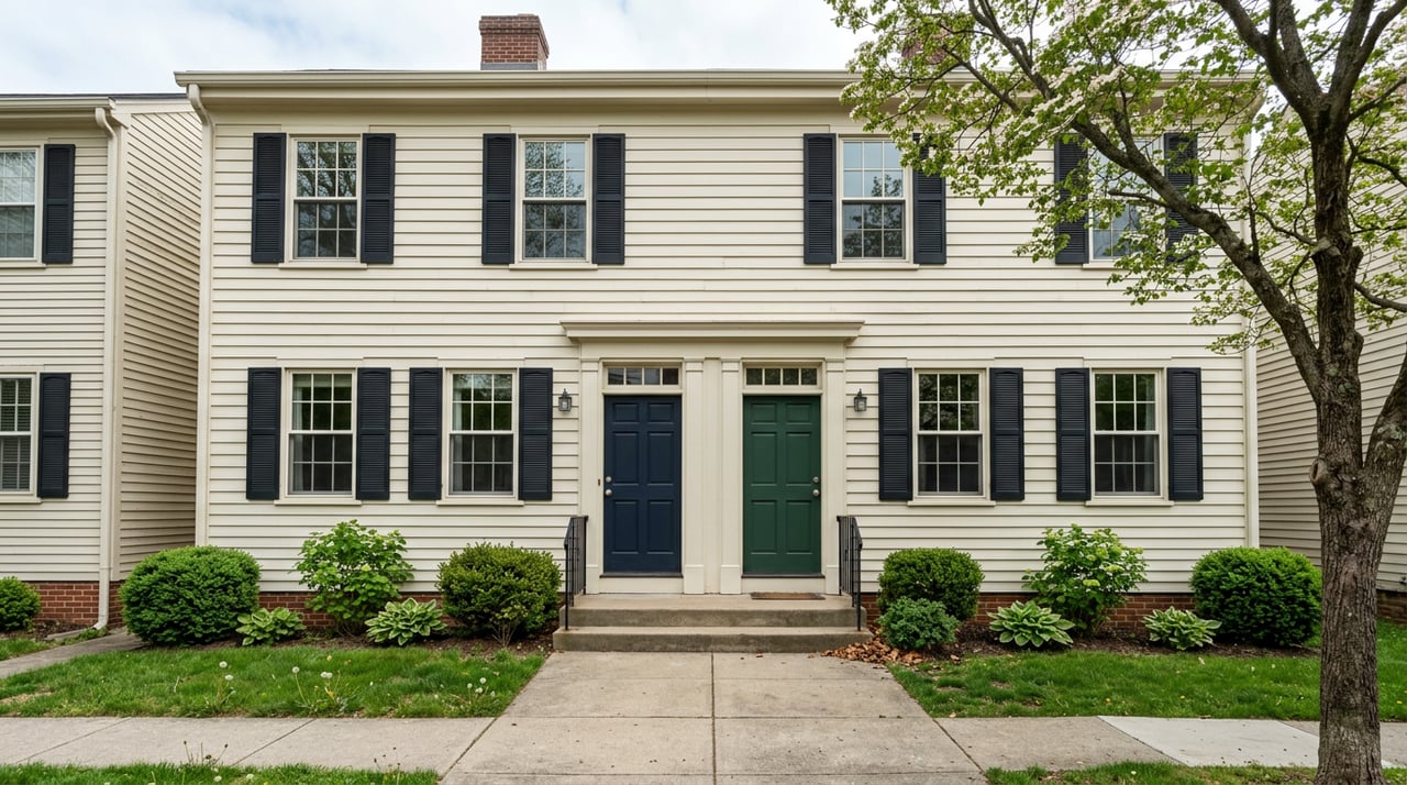
- Early‑20th century cottages and colonials in brick or wood frame. Many have seen interior updates while keeping traditional facades.
- Mid‑century ranches and split‑levels toward the borough edges, often on larger lots with room for garages and sheds.
- A small number of multi‑family and rental properties exist, but the overall housing stock is predominantly detached single‑family homes.
Lot sizes and what they mean for you
- Downtown and close‑in streets often range from about 0.09 to 0.18 acres. Expect efficient yards and close setbacks that support walkability.
- The numbered‑street grid commonly runs 0.09 to 0.25 acres, which balances outdoor space with easy upkeep.
- Edge‑of‑borough homes can range from about 0.2 to 0.8 acres or more, giving you room for outdoor storage, play areas, and gardening.
- Outside the borough, multi‑acre parcels are common and can support small agricultural uses. For parcel‑level verification, consult the county parcel and assessor resources with your agent.
Schools, parks, and getting around
Watsontown is served by the Warrior Run School District. Current main facilities are Warrior Run Elementary at 244 Warrior Run Blvd. in Turbotville and Warrior Run Jr/Sr High at 4860 Susquehanna Trail in Turbotville. Always confirm bus eligibility and attendance boundaries directly with the district using the Warrior Run School District page.
For recreation, the Canal Boat Park and Towpath Trail offer river access and a paved path for walking. Paddlers use the local access as a convenient river put‑in and take‑out, as described on the Towpath Trail page. Milton State Park sits nearby on an island in the river and offers larger fields and picnic space for day trips.
Watsontown connects quickly to Milton and Lewisburg and is part of the Sunbury micropolitan area. Many daily commutes to Turbotville, where Warrior Run schools are located, take about 10 to 15 minutes depending on route and traffic. Use live mapping for real‑time travel estimates.
Buyer tips for older homes
Older homes are a major part of Watsontown’s charm. They may also need targeted updates. Plan for inspection focus on wiring, plumbing, roofing, windows, and HVAC. If you are close to the river or on low‑lying land, ask about past water mitigation work and confirm flood‑zone status through the FEMA Map Service Center.
If you intend to renovate, check with the borough office about permits and any code triggers that could apply. Local contacts, notices, and meeting info are posted at the Watsontown Borough site. Having clear contractor bids and a timeline can keep surprises in check.
How pricing works in a small market
Because Watsontown is compact with relatively few annual sales, published medians can swing widely from quarter to quarter. You may see different figures from different websites at the same time. Treat those as rough signals, not final answers. The best way to value a property is to analyze the most recent, comparable sales pulled from the MLS and county records, then adjust for lot size, condition, and location within these neighborhood pockets.
Ready to explore homes in Watsontown?
If you like historic character, easy access to the river, and a small‑town grid, Watsontown is worth a close look. Start by deciding which pocket best fits your lifestyle, then focus your search on the streets that match your wish list. When you are ready, reach out for a local game plan, from flood checks and parcel data to price strategy and negotiation. Connect with Brett Barrick to get started.
FAQs
What are the main neighborhoods in Watsontown?
- Watsontown works best as pockets: Downtown/Main Street, Riverfront/Towpath, the numbered‑street grid, mid‑century edges near the borough line, and rural parcels just outside town.
Are Watsontown riverfront homes in a flood zone?
- Some parcels near the river may be in Special Flood Hazard Areas, so check each address using the FEMA Map Service Center and review insurance needs with your lender and insurer.
Which home styles are most common in Watsontown?
- You will see late‑19th‑century Victorian and Queen Anne near Main Street, early‑20th‑century cottages and colonials in the grid, and mid‑century ranches and split‑levels toward the edges.
How big are typical lots inside the borough?
- Many in‑town lots range from about 0.09 to 0.25 acres, while edge‑of‑borough homes can reach 0.8 acres or more; outside the borough, multi‑acre parcels are common.
Which school district serves Watsontown?
- Watsontown is served by Warrior Run School District, with primary facilities in Turbotville; verify attendance and busing directly with the district office.
What parks and trails are close to Watsontown homes?
- The Canal Boat Park and the 1‑mile Towpath Trail offer river access and walking; see the Towpath Trail overview for details.
Where can I verify a property’s lot lines and taxes?
- Use county parcel and assessor resources with your agent for parcel‑level details; start with the Northumberland County parcel data page.